


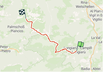

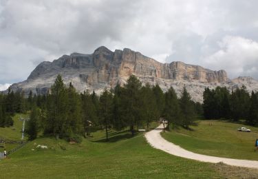
11,9 km | 18,8 km-effort

Tous les sentiers balisés d’Europe GUIDE+


Gratisgps-wandelapplicatie
 SityTrail
IGN / Geografische instituten
SityTrail World
De wereld gaat voor u open
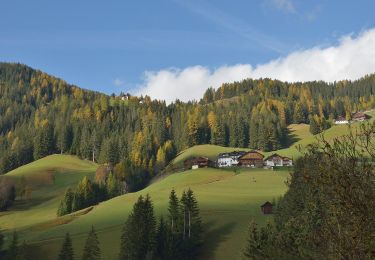
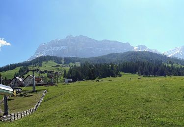
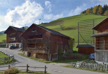
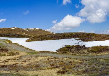
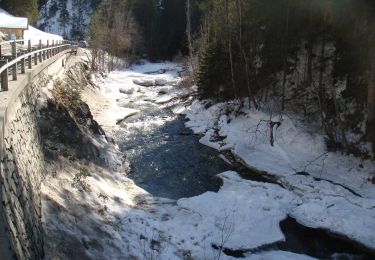
Tocht Te voet van 17,7 km beschikbaar op Trento-Zuid-Tirol, Bolzano - Bozen, San Martin de Tor - San Martino in Badia - St. Martin in Thurn. Deze tocht wordt voorgesteld door SityTrail - itinéraires balisés pédestres.
Trail created by Club Alpino Italiano.


Te voet
Te voet
Te voet
Te voet
Te voet
Te voet
Te voet
Te voet
Te voet